I've just discovered the most awesome thing. Landgate have released a Perth Metro Aerial Survey from March 1965. You can view it in Google Maps and see what your address and street looked like back in 65. I just did some spying around the street I grew up in in Wilson and wow... my childhood home was just a few years old back then and the street only had a few houses in it...
 |
| This is a wide shot of Wilson, Shelley bridge and Leach Hwy are not even begun, farm land to the south east for as far as you can see (now Ferndale) |
 |
| zooming in on my street Highview Tce |
 |
| Zooming in on my childhood home |
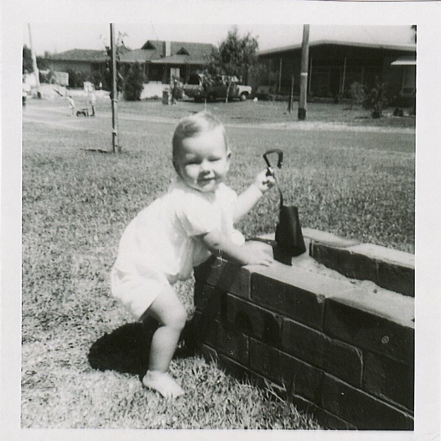 |
| My sister out the front of our Highview Tce house (circa 68 ish) |
 |
| My childhood home and street now |
 |
| and same shot back then |
 |
| Click the link at the top of the page and have some fun. Look for things like the Kwinana Freeway ending at Canning Bridge |
 | ||
| and drive in movie theatres like the Bentley one, cnr Leach | and Albany Hwy if it was still there today |
 |
| Herdsman Lake, completely drained and used for market gardens |
Comments